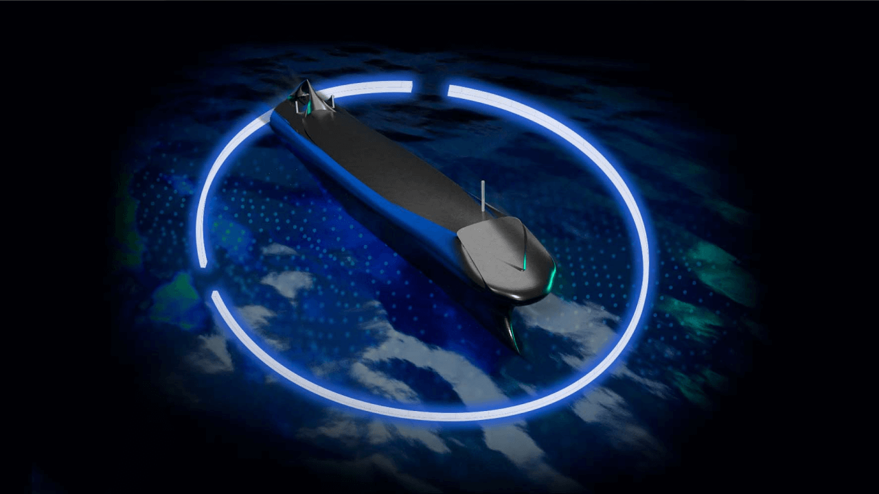
Autonomous navigation, localization, and mapping mean the ability of the autonomous system to create a map of the surrounding environment, localize the machine on that map and make the navigation planning accordingly. These features are crucial in the development of autonomous machinery, vehicles, and vessels, and are often enabled by techniques such as sensor fusion.
We sat down with Janne Pöllänen, our Lead Software Architect, who has over 20 years of experience in working closely with hardware and embedded software, to learn more about the topic. At Silo AI, Janne has been leading projects focusing on localization and mapping, even simultaneously.

What are good starting points to start utilizing autonomous navigation, localization, and mapping?
– If you are planning to develop an autonomous system, a good starting point for the development is to check some open-source projects available for navigation, localization, and mapping. At Silo AI, we are able to build intelligent systems from scratch, however, we’ve also used open-source alternatives in several projects as a starting point to build the required custom features on top of it.
What are the key benefits of using autonomous navigation, localization, and mapping?
– Autonomous navigation, localization and mapping can be useful in preventing human errors and the resulting accidents. Even as an aiding system and not necessarily a thoroughbred autonomous system, the impact to prevent accidents and close call situations can be significant. For example, in maritime, we often work under the hypothesis of increased safety as our main guideline. From various studies, we know that the number of maritime accidents that involve “human error” ranges between 70–90 percent. So, there is a huge benefit for shifting towards autonomous shipping and using intelligent aiding systems.
Preventing an ecological accident is an important aspect when improving the way cargo ships or oil tankers use intelligent systems to navigate. Business-wise it makes sense to improve the efficiency of the navigation and to optimize the navigation planning with the help of machine learning and deep learning. For example, the price tag for physical and financial damages caused by the trade route's blockage by Ever Given cargo ship in April has been set to $1 billion by the Suez Canal Authorities. Another example is the Italian cruise ship Costa Concordia that ran aground, capsized, and later sank in shallow waters after striking an underwater rock off Isola del Giglio, Tuscany, resulting in 32 deaths. The total cost of the disaster, including victims' compensation, is estimated at approximately $2 billion.
Which sensor fusion techniques and technologies are currently used in navigation, localization, and mapping? Where and how can you achieve the highest accuracy?
– Most used technique behind today’s sensor fusion-driven localization is the Kalman Filter, or in many cases Extended Kalman Filter. But also, algorithms like Particle Filter and Covariance Union are used to utilize sensor fusion/localization. My colleague, AI Scientist Pauli Pihajoki recently wrote a technical article on the mathematical basis of sensor fusion. Kalman filter is a data processing algorithm, in other words, an iterative mathematical process, which uses a set of equations and consecutive data inputs for estimating the true value in a system that contains uncertainty.
To achieve the highest possible accuracy for localization it can be done by combining high precision GNSS (Global Navigation Satellite System) receiver(s) with highly accurate IMU (inertial measurement unit) and AHRS (attitude and heading reference system), or by using GNSS with accurate INS (Inertial Navigation System). High accuracy also requires using more sophisticated tracking algorithms, such as Unscented or Extended Kalman Filters, customized to the particular use case. In fact, even if we have the best sensors, but use only a standard Kalman Filter, we would be leaving a lot of performance to the table.
What are the biggest challenges of current technology?
– Currently, the prices of some of the sensors used in navigation, localization, and mapping, like accurate IMUs or LiDARs, are quite high. However, as autonomous navigation is becoming more common and new areas of business are taking advantage of autonomous navigation, the prices are coming down quite rapidly. As for the imaging sensors, although relatively cheap to purchase, there are challenges with the performance caused by environmental things like snow, fog, mist, and darkness. In addition, very low and very high temperatures can have an effect on sensor performance and reliability.
What’s more, a strong dependence on the integrity of GNSS (Global Navigation Satellite System) makes the systems sensitive to signal outages, or to intentional signal manipulation. The latter is referred to as GNSS spoofing attacks and the tools available to attackers get increasingly more sophisticated and affordable and the risk of getting the signal spoofed gets higher. GNSS receiver manufacturers are including their own anti-spoofing algorithms in the GNSS receivers and those are also developed better all the time.
How do you see the future of autonomous navigation, localization, and mapping?
– Today the vehicle companies lead the world of navigation, localization, and mapping. Autonomy in maritime is quite a different field with different challenges, but the industry is increasingly interested in its potential. The same applied to other machinery, for example for autonomous machines in mining, forestry, and agriculture are developed currently by all the major players in those industries. One big group worth mentioning is drone hobbyists, who are also behind many of the open-source navigation, localization, and mapping projects found on the internet.
– I believe the autonomous vehicles used in logistics as well as autonomous machinery in forestry, mining, and agriculture) have great potential. Already today, new harvesters are more or less autonomous or at least semi-autonomous these days, and new innovations are being constantly developed. The technology is ready and as the sensor prices get lower, the cost for utilizing autonomous systems has become available for even the smaller companies. Once you add ready-made software components, the development time and costs remain in control. Our PhD-level AI Scientists (we're more than 150 & hiring) are experts in building sophisticated computer vision and computational geometry-based products and solutions for simultaneous localization and mapping (SLAM), which is a growing field in autonomous vehicles and vessels too.
About
Want to discuss how Silo AI could help your organization?


Join the 5000+ subscribers who read the Silo AI monthly newsletter to be among the first to hear about the latest insights, articles, podcast episodes, webinars, and more.

.png)
.png)